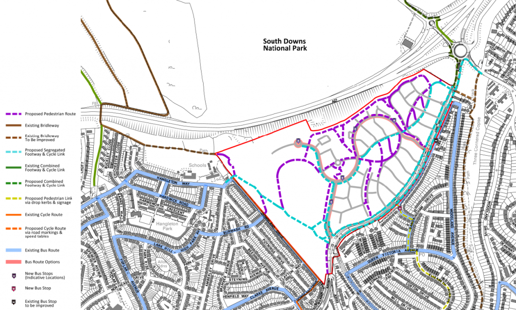
Last week the planning application for 880 new homes on the Toad Valley Side located between the A27 & A2038 was approved. Its only an outline planning application, which focuses on parcels of land’s properties & overall infrastructure to be provided.
The Junction of the A27, A2038 & Dyke Road will be partially signalised to provide pedestrian (Toucan) crossings and some widened approaches.
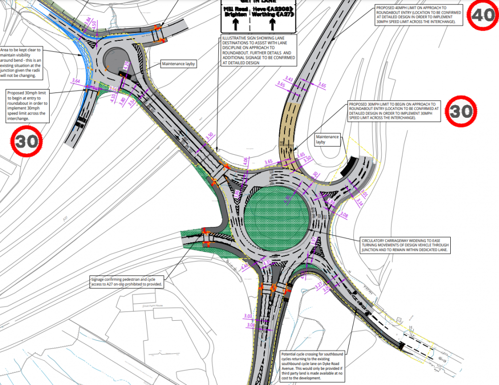
The approved design has quite a few errors on it, but this doesn’t show how it will be built, but roughly what the design will be like. Much of the cycle provision around the interchange will be of a shared pavement type.

The Northern access point to the site, which is the sole access point for Phase 1 will be of a standard priority junction type, with a parallel crossing for the foot & cycleways over the entrance. Both sides of King George VI Avenue will have segregated pedestrian & cycleways, strangely with pedestrians between the main carriageway & cycleway. An additional cycle link to the Local Road Network would also be provided.
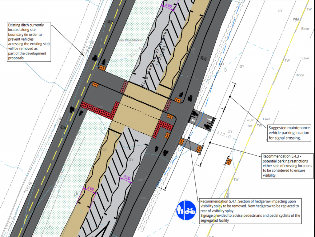
Between the Northern (phase 1) entrance the the central entrance, a pedestrian/cycle signal controlled crossing is proposed. Currently this type of crossing (parallex) needs special authorisation. An additional cycle and pedestrian link to the Local Road network would also be provided.

The central access point would be a signal controlled junction. A Bus gate would be provided on the Eastern side & a two lane approach on the main road. Cycle & pedestrian crossings are provided across 3 of the arms.

Between the Central & Southern access points, another cycle & pedestrian signal crossing is proposed.

The Southern access points is the largest of all the junction and would see changes to Goldstone Crescent. Pedestrian & Cycle crossings would be provided across all arms of the Southern access junction, however the cycleway ends here other than a spur off to Goldstone Crescent.

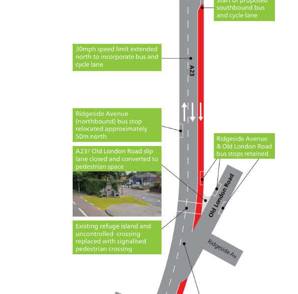
The junction with Nevil Road would also have some minor changes. This is as far south as the scheme is directly concerned.
